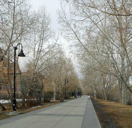
Calgary Pathway System
 Calgary communities, parks and natural areas are connected by an extensive network of multi-use pathways available for all Calgarians to enjoy, whether for walking, running, in-line skating or cycling. In fact, Calgary has the most extensive urban pathway and bikeway network in North America. The City of Calgary maintains approximately 580 km of regional pathways, 220 km of local pathways and 95 km of trails.
In the late 1960s, Calgarians began envisioning a system of connected pathways on which they could travel throughout the city and access areas of unique natural beauty. The first completed section of the pathway was built through Confederation Park in the early 1970s. Pathways along the Bow River and Elbow River were subsequently made from crushed red shale (clinker shale from burned out coal seams). Asphalt later became the preferred material of choice because of its durability. Eventually, the red shale pathways were resurfaced with asphalt.
Today we continue to add to and improve the pathway network, addressing missing links, lifecycle repairs and safety improvements. The 2016 Pathways and Trails work plan is now available, and will be updated on a regular basis. Please note this work plan is a living document that will be updated throughout the year.
